Track along the west side of the Croesyceiliog Bypass
Introduction
The photograph on this page of Track along the west side of the Croesyceiliog Bypass by Jaggery as part of the Geograph project.
The Geograph project started in 2005 with the aim of publishing, organising and preserving representative images for every square kilometre of Great Britain, Ireland and the Isle of Man.

There are currently over 7.5m images from over 14,400 individuals and you can help contribute to the project by visiting https://www.geograph.org.uk
Track along the west side of the Croesyceiliog Bypass
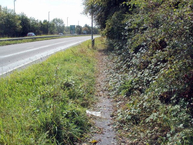
Image: © Jaggery Taken: 13 Sep 2011
For pedestrians who've crossed the A4042, http://www.geograph.org.uk/photo/2601086 the track is an alternative to this kissing gate http://www.geograph.org.uk/photo/2601094 leading into the grounds of County Hall. I chose the kissing gate, so don't know if the track reaches Turnpike Roundabout, 300 metres away.
Images are licensed for reuse under creativecommons.org/licenses/by-sa/2.0
Image Location
Latitude
51.652226
Longitude
-3.000205