Footpath between the central reservation barriers, Croesyceiliog Bypass
Introduction
The photograph on this page of Footpath between the central reservation barriers, Croesyceiliog Bypass by Jaggery as part of the Geograph project.
The Geograph project started in 2005 with the aim of publishing, organising and preserving representative images for every square kilometre of Great Britain, Ireland and the Isle of Man.

There are currently over 7.5m images from over 14,400 individuals and you can help contribute to the project by visiting https://www.geograph.org.uk
Footpath between the central reservation barriers, Croesyceiliog Bypass
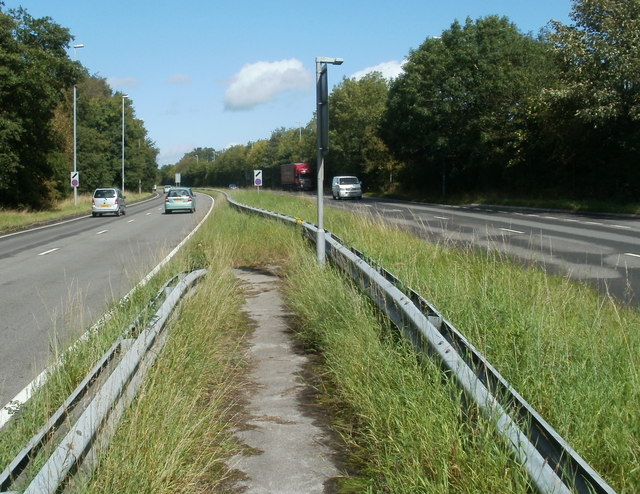
Image: © Jaggery Taken: 13 Sep 2011
The footpath between the barriers allows walkers to and from this lane http://www.geograph.org.uk/photo/2601080 to cross the busy A4042 to a kissing gate http://www.geograph.org.uk/photo/2601094 leading into the County Hall site.
Images are licensed for reuse under creativecommons.org/licenses/by-sa/2.0
Image Location
Latitude
51.652226
Longitude
-3.000205