Footpath winding its way across ploughed field
Introduction
The photograph on this page of Footpath winding its way across ploughed field by Dave Spicer as part of the Geograph project.
The Geograph project started in 2005 with the aim of publishing, organising and preserving representative images for every square kilometre of Great Britain, Ireland and the Isle of Man.

There are currently over 7.5m images from over 14,400 individuals and you can help contribute to the project by visiting https://www.geograph.org.uk
Footpath winding its way across ploughed field
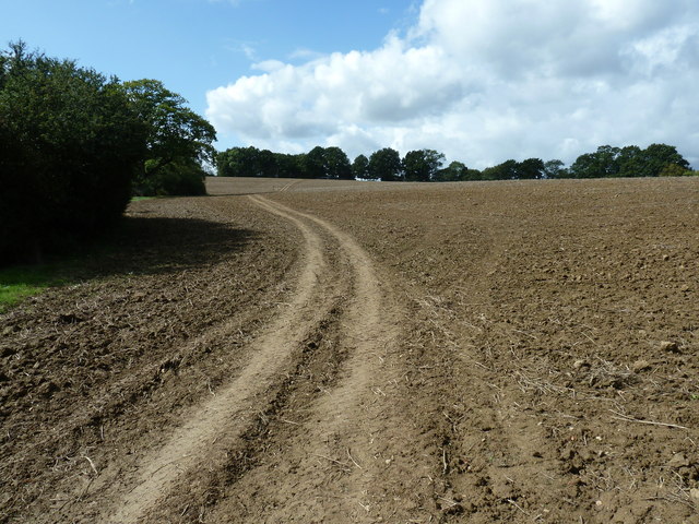
Image: © Dave Spicer Taken: 11 Sep 2011
Lower North Park Farm is at the top of the hill. Upper North Park Farm, nearby, is at a lower elevation.
Images are licensed for reuse under creativecommons.org/licenses/by-sa/2.0
Image Location
Latitude
51.041243
Longitude
-0.749597