Cattle grid near Ysgubornewydd Farm
Introduction
The photograph on this page of Cattle grid near Ysgubornewydd Farm by Jaggery as part of the Geograph project.
The Geograph project started in 2005 with the aim of publishing, organising and preserving representative images for every square kilometre of Great Britain, Ireland and the Isle of Man.

There are currently over 7.5m images from over 14,400 individuals and you can help contribute to the project by visiting https://www.geograph.org.uk
Cattle grid near Ysgubornewydd Farm
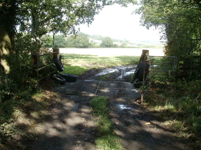
Image: © Jaggery Taken: 13 Sep 2011
Located near a farm access road, http://www.geograph.org.uk/photo/2600484 the grid prevents hoofed animals grazing in fields on the far side from wandering on to public roads, one of which leads to fast-travelling traffic on the A4042 (Croesyceiliog Bypass).
Images are licensed for reuse under creativecommons.org/licenses/by-sa/2.0
Image Location
Latitude
51.653149
Longitude
-2.997335