Disused cottage at the Mayo Road-Tamnaharry Hill Crossroads
Introduction
The photograph on this page of Disused cottage at the Mayo Road-Tamnaharry Hill Crossroads by Eric Jones as part of the Geograph project.
The Geograph project started in 2005 with the aim of publishing, organising and preserving representative images for every square kilometre of Great Britain, Ireland and the Isle of Man.

There are currently over 7.5m images from over 14,400 individuals and you can help contribute to the project by visiting https://www.geograph.org.uk
Disused cottage at the Mayo Road-Tamnaharry Hill Crossroads
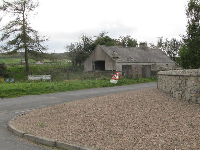
Image: © Eric Jones Taken: 14 Sep 2011
Tamnharry is a corruption of the original Tainhnach na Cairthe: meaning the green field of the pillar stone. Which stone is not clear; there are a number of standing stones in the area.
Images are licensed for reuse under creativecommons.org/licenses/by-sa/2.0
Image Location
Latitude
54.168302
Longitude
-6.224447