Tilted benchmark near Horsecombe Brow
Introduction
The photograph on this page of Tilted benchmark near Horsecombe Brow by Neil Owen as part of the Geograph project.
The Geograph project started in 2005 with the aim of publishing, organising and preserving representative images for every square kilometre of Great Britain, Ireland and the Isle of Man.

There are currently over 7.5m images from over 14,400 individuals and you can help contribute to the project by visiting https://www.geograph.org.uk
Tilted benchmark near Horsecombe Brow
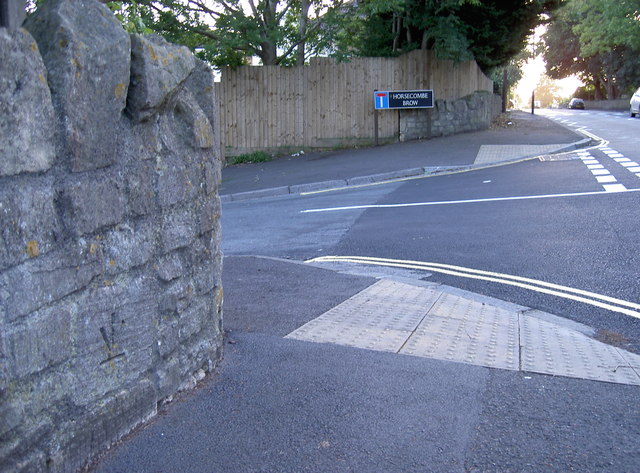
Image: © Neil Owen Taken: 10 Sep 2011
Once there appears to have been a benchmark close to this location; but the inverted and tilted aspect suggest that it has been lifted out of its original position and returned in an approximate place. See Image] for a closer view of the levelling.
Images are licensed for reuse under creativecommons.org/licenses/by-sa/2.0
Image Location
Latitude
51.358766
Longitude
-2.359858