Woodland above Eltringham Scar
Introduction
The photograph on this page of Woodland above Eltringham Scar by Andrew Curtis as part of the Geograph project.
The Geograph project started in 2005 with the aim of publishing, organising and preserving representative images for every square kilometre of Great Britain, Ireland and the Isle of Man.

There are currently over 7.5m images from over 14,400 individuals and you can help contribute to the project by visiting https://www.geograph.org.uk
Woodland above Eltringham Scar
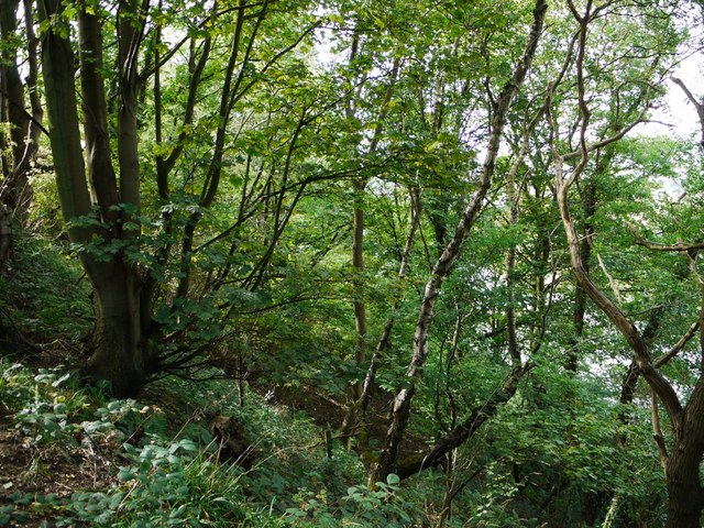
Image: © Andrew Curtis Taken: 12 Sep 2011
The scar is a heavily wooded, steep slope above the railway line and the River Tyne. The photo location is just west of the site of an earlier fire-brick factory shown on the 1865 OS map near the bottom of Coldkettle Dene. It may have been in operation from 1840 to 1870 http://www.keystothepast.info/article/10339/Site-Details?PRN=N10166
Images are licensed for reuse under creativecommons.org/licenses/by-sa/2.0
Image Location


Leaflet Map data © OpenStreetMap
Latitude
54.961479
Longitude
-1.875344