Byway to Eltringham
Introduction
The photograph on this page of Byway to Eltringham by Andrew Curtis as part of the Geograph project.
The Geograph project started in 2005 with the aim of publishing, organising and preserving representative images for every square kilometre of Great Britain, Ireland and the Isle of Man.

There are currently over 7.5m images from over 14,400 individuals and you can help contribute to the project by visiting https://www.geograph.org.uk
Byway to Eltringham
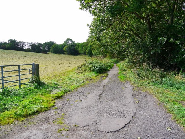
Image: © Andrew Curtis Taken: 12 Sep 2011
Woodland on the right hand side conceals the remains of two long rows of terraced houses for workers in the Eltringham Colliery and nearby brick works.
Images are licensed for reuse under creativecommons.org/licenses/by-sa/2.0
Image Location
Latitude
54.960308
Longitude
-1.871912