Meadow east of Eltringham Wood
Introduction
The photograph on this page of Meadow east of Eltringham Wood by Andrew Curtis as part of the Geograph project.
The Geograph project started in 2005 with the aim of publishing, organising and preserving representative images for every square kilometre of Great Britain, Ireland and the Isle of Man.

There are currently over 7.5m images from over 14,400 individuals and you can help contribute to the project by visiting https://www.geograph.org.uk
Meadow east of Eltringham Wood
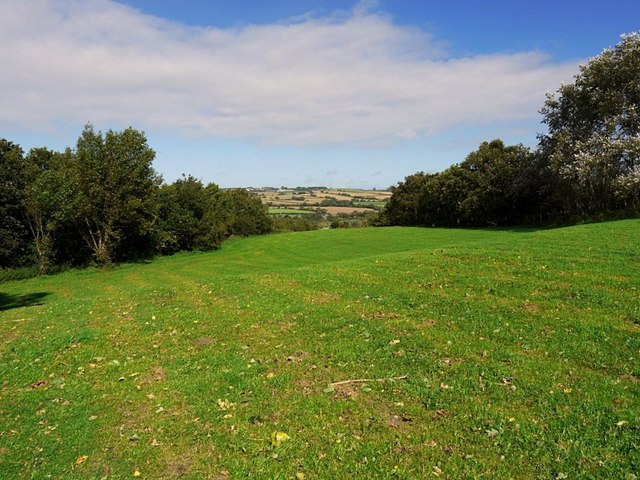
Image: © Andrew Curtis Taken: 12 Sep 2011
View north-east over the Tyne valley towards Horsley on the far hilltop. This area, now used for public access is a reclaimed spoil tip from the former Eltringham Colliery.
Images are licensed for reuse under creativecommons.org/licenses/by-sa/2.0
Image Location
Latitude
54.962372
Longitude
-1.869719