Disused limestone quarry above Wath
Introduction
The photograph on this page of Disused limestone quarry above Wath by Karl and Ali as part of the Geograph project.
The Geograph project started in 2005 with the aim of publishing, organising and preserving representative images for every square kilometre of Great Britain, Ireland and the Isle of Man.

There are currently over 7.5m images from over 14,400 individuals and you can help contribute to the project by visiting https://www.geograph.org.uk
Disused limestone quarry above Wath
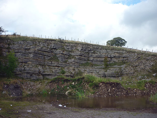
Image: © Karl and Ali Taken: 9 Sep 2011
The rock is quite thinly bedded, no good at all for climbing.
Images are licensed for reuse under creativecommons.org/licenses/by-sa/2.0
Image Location


Leaflet Map data © OpenStreetMap
Latitude
54.442748
Longitude
-2.488142