Gwent Police HQ, Croesyceiliog, Cwmbran
Introduction
The photograph on this page of Gwent Police HQ, Croesyceiliog, Cwmbran by Jaggery as part of the Geograph project.
The Geograph project started in 2005 with the aim of publishing, organising and preserving representative images for every square kilometre of Great Britain, Ireland and the Isle of Man.

There are currently over 7.5m images from over 14,400 individuals and you can help contribute to the project by visiting https://www.geograph.org.uk
Gwent Police HQ, Croesyceiliog, Cwmbran
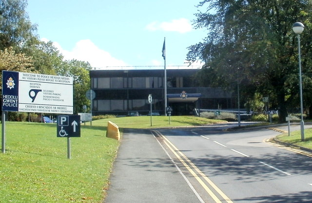
Image: © Jaggery Taken: 13 Sep 2011
The area covered by Gwent Police is about 600 square miles, bounded by Abergavenny in the north, Newport in the south, Chepstow in the east and Caerphilly in the west. Gwent was an ancient kingdom in SE Wales. From 1974 to 1996, it was the name of a county made up of most of the former administrative county of Monmouthshire and the county borough of Newport. Gwent lives on in some names, such as the police force and the rugby team Newport Gwent Dragons. A local newspaper continues to use Gwent, as a shorthand way of referring to the area known as Monmouthshire before 1974.
Images are licensed for reuse under creativecommons.org/licenses/by-sa/2.0
Image Location
Latitude
51.651315
Longitude
-3.001631