
Battle Mead, Corfe Castle
Introduction
The photograph on this page of Battle Mead, Corfe Castle by Des Blenkinsopp as part of the Geograph project.
The Geograph project started in 2005 with the aim of publishing, organising and preserving representative images for every square kilometre of Great Britain, Ireland and the Isle of Man.

There are currently over 7.5m images from over 14,400 individuals and you can help contribute to the project by visiting https://www.geograph.org.uk
Battle Mead, Corfe Castle
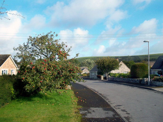
Image: © Des Blenkinsopp Taken: 11 Sep 2011
"New" Corfe Castle is centred on a small network of leafy suburban style streets to the south of the historic old village. Battle Mead no doubt commemorates the castle's role in the Civil War when it was a Royalist stronghold besieged by Parliament forces. http://en.wikipedia.org/wiki/Corfe_Castle This area looks to have been an old orchard at one time.
Images are licensed for reuse under creativecommons.org/licenses/by-sa/2.0
Image Location

Latitude
50.633185
Longitude
-2.050708