Blackheath High School
Introduction
The photograph on this page of Blackheath High School by David Anstiss as part of the Geograph project.
The Geograph project started in 2005 with the aim of publishing, organising and preserving representative images for every square kilometre of Great Britain, Ireland and the Isle of Man.

There are currently over 7.5m images from over 14,400 individuals and you can help contribute to the project by visiting https://www.geograph.org.uk
Blackheath High School
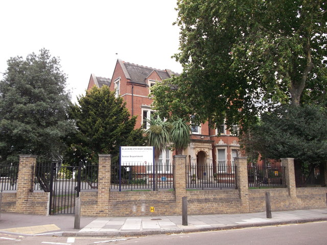
Image: © David Anstiss Taken: 11 Sep 2011
On Vanbrugh Park (road). Has a converted chapel as one of its school buildings. See http://en.wikipedia.org/wiki/Church_Army_Chapel,_Blackheath for more details.
Images are licensed for reuse under creativecommons.org/licenses/by-sa/2.0
Image Location
Latitude
51.477325
Longitude
0.015571