The Crispin
Introduction
The photograph on this page of The Crispin by Bill Nicholls as part of the Geograph project.
The Geograph project started in 2005 with the aim of publishing, organising and preserving representative images for every square kilometre of Great Britain, Ireland and the Isle of Man.

There are currently over 7.5m images from over 14,400 individuals and you can help contribute to the project by visiting https://www.geograph.org.uk
The Crispin
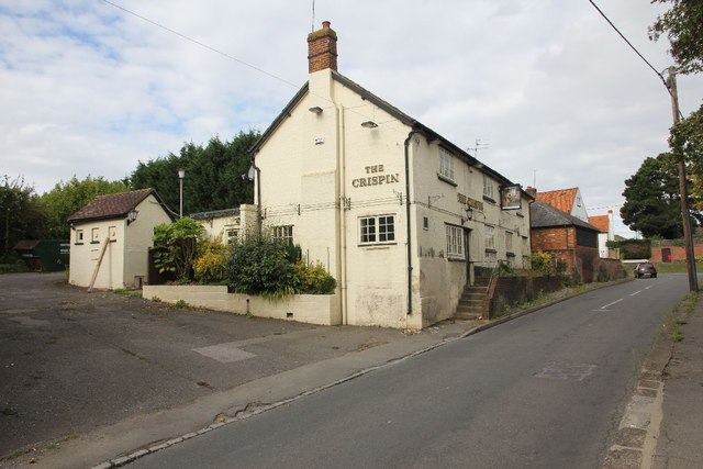
Image: © Bill Nicholls Taken: 28 Aug 2011
The Crispin Public house along Burr Street in Harwell now sadly closed, in the distance is the White Hart which is also closed at the moment.
Images are licensed for reuse under creativecommons.org/licenses/by-sa/2.0
Image Location
Latitude
51.601558
Longitude
-1.289152