Dover, Aycliff, Saxon Shore Way
Introduction
The photograph on this page of Dover, Aycliff, Saxon Shore Way by Helmut Zozmann as part of the Geograph project.
The Geograph project started in 2005 with the aim of publishing, organising and preserving representative images for every square kilometre of Great Britain, Ireland and the Isle of Man.

There are currently over 7.5m images from over 14,400 individuals and you can help contribute to the project by visiting https://www.geograph.org.uk
Dover, Aycliff, Saxon Shore Way
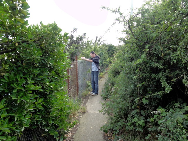
Image: © Helmut Zozmann Taken: 22 Jul 2011
Dover, Aycliff, Saxon Shore Way. The Saxon Shore Way is a long-distance footpath in England, starting at Gravesend, Kent and traces the coast as it was in Roman times (note the changed coastline around Romney Marsh) as far as Hastings, East Sussex, 262 km in total.
Images are licensed for reuse under creativecommons.org/licenses/by-sa/2.0
Image Location
Latitude
51.113027
Longitude
1.297243