B2244 crossroads
Introduction
The photograph on this page of B2244 crossroads by Stuart Logan as part of the Geograph project.
The Geograph project started in 2005 with the aim of publishing, organising and preserving representative images for every square kilometre of Great Britain, Ireland and the Isle of Man.

There are currently over 7.5m images from over 14,400 individuals and you can help contribute to the project by visiting https://www.geograph.org.uk
B2244 crossroads
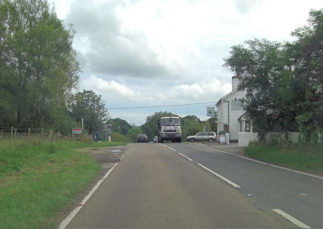
Image: © Stuart Logan Taken: 25 Aug 2011
The 'B' road is called Junction Road at this point, near The Curlew Restaurant. To the left is Bodiam whilst Silver Hill is to the right.
Images are licensed for reuse under creativecommons.org/licenses/by-sa/2.0
Image Location
Latitude
51.009599
Longitude
0.516141