Campsie Fells, the little Carron valley
Introduction
The photograph on this page of Campsie Fells, the little Carron valley by Robert Murray as part of the Geograph project.
The Geograph project started in 2005 with the aim of publishing, organising and preserving representative images for every square kilometre of Great Britain, Ireland and the Isle of Man.

There are currently over 7.5m images from over 14,400 individuals and you can help contribute to the project by visiting https://www.geograph.org.uk
Campsie Fells, the little Carron valley
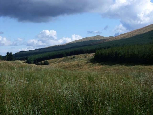
Image: © Robert Murray Taken: 5 Sep 2011
At this place the Carron is just a rivulet making its way between the high ground either side and it's not until it falls into a much larger burn coming off Campsie Muir near the old toll house that it begins to take form. Meikle Bin lies on the horizon.
Images are licensed for reuse under creativecommons.org/licenses/by-sa/2.0
Image Location
Latitude
56.011741
Longitude
-4.193895