Whitson Street
Introduction
The photograph on this page of Whitson Street by Thomas Nugent as part of the Geograph project.
The Geograph project started in 2005 with the aim of publishing, organising and preserving representative images for every square kilometre of Great Britain, Ireland and the Isle of Man.

There are currently over 7.5m images from over 14,400 individuals and you can help contribute to the project by visiting https://www.geograph.org.uk
Whitson Street
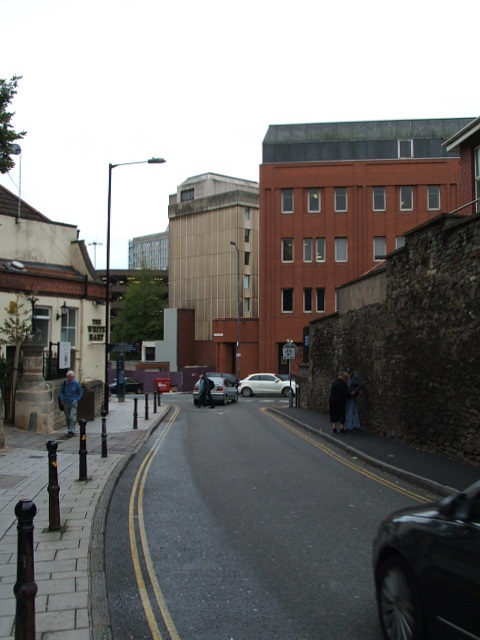
Image: © Thomas Nugent Taken: 12 Sep 2011
Viewed from outside the bus & coach station. The White Hart pub is on the left.
Images are licensed for reuse under creativecommons.org/licenses/by-sa/2.0
Image Location
Latitude
51.458521
Longitude
-2.593813