Lost benchmark on #2 Hasell Street
Introduction
The photograph on this page of Lost benchmark on #2 Hasell Street by Roger Templeman as part of the Geograph project.
The Geograph project started in 2005 with the aim of publishing, organising and preserving representative images for every square kilometre of Great Britain, Ireland and the Isle of Man.

There are currently over 7.5m images from over 14,400 individuals and you can help contribute to the project by visiting https://www.geograph.org.uk
Lost benchmark on #2 Hasell Street
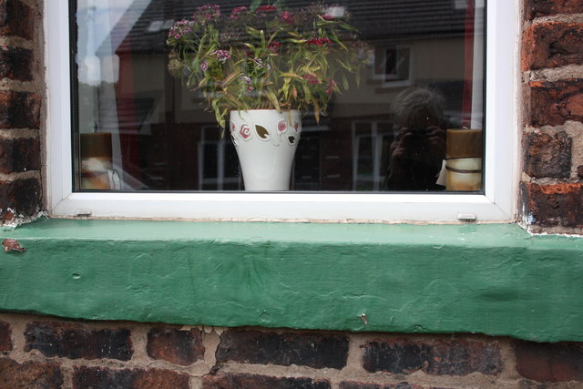
Image: © Roger Templeman Taken: 26 Jun 2011
There should be an Ordnance Survey cut mark benchmark on the window sill but it appears to have been filled in and painted over (see http://www.bench-marks.org.uk/bm38379 )
Images are licensed for reuse under creativecommons.org/licenses/by-sa/2.0
Image Location
Latitude
54.881468
Longitude
-2.923471