The former railway line into Shrewsbury
Introduction
The photograph on this page of The former railway line into Shrewsbury by Richard Law as part of the Geograph project.
The Geograph project started in 2005 with the aim of publishing, organising and preserving representative images for every square kilometre of Great Britain, Ireland and the Isle of Man.

There are currently over 7.5m images from over 14,400 individuals and you can help contribute to the project by visiting https://www.geograph.org.uk
The former railway line into Shrewsbury
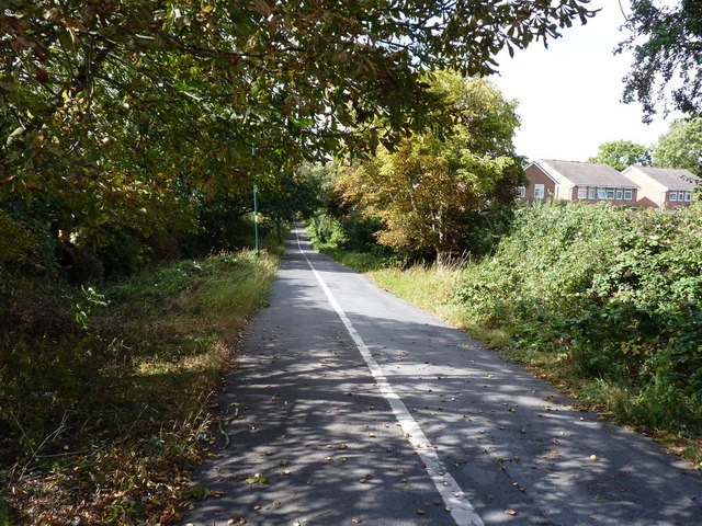
Image: © Richard Law Taken: 12 Sep 2011
The route of the former line from the Severn Valley direction (Bridgnorth, Ironbridge, Buildwas, Cressage etc) into Shrewsbury; now used as a shared cycle and pedestrian route.
Images are licensed for reuse under creativecommons.org/licenses/by-sa/2.0
Image Location
Latitude
52.694226
Longitude
-2.733996