Disused Cricket Pavilion and Recreational Ground
Introduction
The photograph on this page of Disused Cricket Pavilion and Recreational Ground by David Anstiss as part of the Geograph project.
The Geograph project started in 2005 with the aim of publishing, organising and preserving representative images for every square kilometre of Great Britain, Ireland and the Isle of Man.

There are currently over 7.5m images from over 14,400 individuals and you can help contribute to the project by visiting https://www.geograph.org.uk
Disused Cricket Pavilion and Recreational Ground
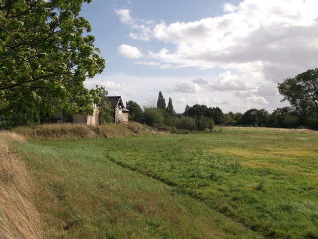
Image: © David Anstiss Taken: 11 Sep 2011
This pavilion is beside Manor Park, within the private Blackheath Cator Estate. It is now disused, as the field has been designated a flood control field. The field is beside the River Quaggy.
Images are licensed for reuse under creativecommons.org/licenses/by-sa/2.0
Image Location
Latitude
51.460042
Longitude
0.016537