Plymouth Road and a footpath cross a brook
Introduction
The photograph on this page of Plymouth Road and a footpath cross a brook by Robin Stott as part of the Geograph project.
The Geograph project started in 2005 with the aim of publishing, organising and preserving representative images for every square kilometre of Great Britain, Ireland and the Isle of Man.

There are currently over 7.5m images from over 14,400 individuals and you can help contribute to the project by visiting https://www.geograph.org.uk
Plymouth Road and a footpath cross a brook
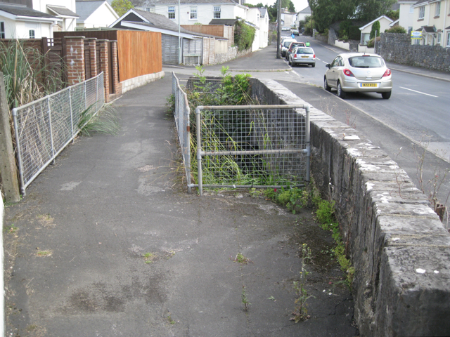
Image: © Robin Stott Taken: 24 Aug 2011
A number of brooks rise near Dunley, join and flow south to the river Teign south of Chudleigh Knighton, bridged by the Plymouth Road here. The parapet is of the grey Devonian limestone. The turning to the left is the recent Hadfield Court.
Images are licensed for reuse under creativecommons.org/licenses/by-sa/2.0
Image Location
Latitude
50.583708
Longitude
-3.632811