Twin Oaks, Glasbury
Introduction
The photograph on this page of Twin Oaks, Glasbury by Jaggery as part of the Geograph project.
The Geograph project started in 2005 with the aim of publishing, organising and preserving representative images for every square kilometre of Great Britain, Ireland and the Isle of Man.

There are currently over 7.5m images from over 14,400 individuals and you can help contribute to the project by visiting https://www.geograph.org.uk
Twin Oaks, Glasbury
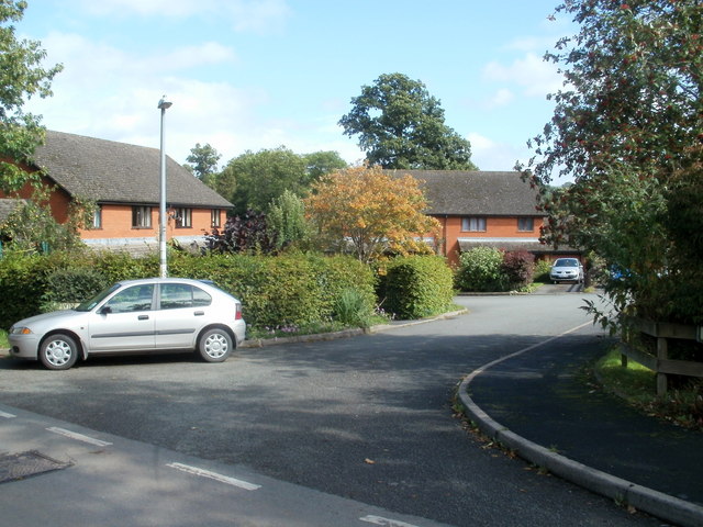
Image: © Jaggery Taken: 11 Sep 2011
A cul-de-sac of modern houses, located about 200 metres SE of the A438, near a Grade II listed disused railway bridge. http://www.geograph.org.uk/photo/2596558
Images are licensed for reuse under creativecommons.org/licenses/by-sa/2.0
Image Location
Latitude
52.042424
Longitude
-3.195526