Thames Tower
Introduction
The photograph on this page of Thames Tower by Tim Hallam as part of the Geograph project.
The Geograph project started in 2005 with the aim of publishing, organising and preserving representative images for every square kilometre of Great Britain, Ireland and the Isle of Man.

There are currently over 7.5m images from over 14,400 individuals and you can help contribute to the project by visiting https://www.geograph.org.uk
Thames Tower
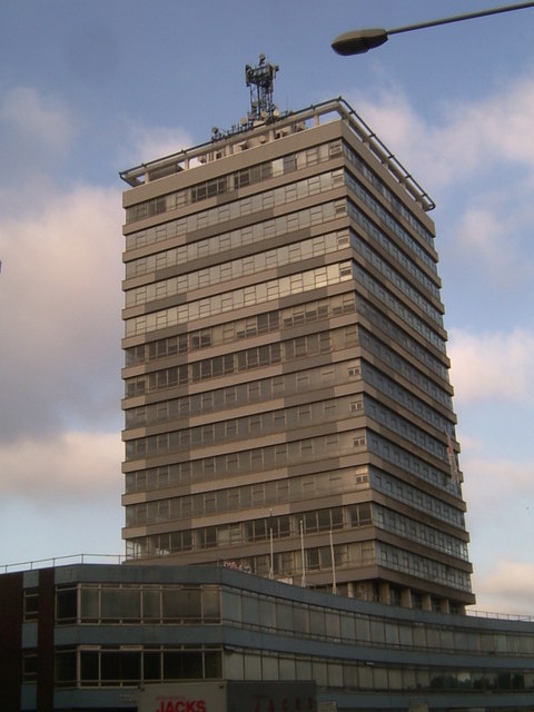
Image: © Tim Hallam Taken: 13 Oct 2006
I'm told that this tower is now being developed into residential premises, rather than being demolished. Imagine the view!
Images are licensed for reuse under creativecommons.org/licenses/by-sa/2.0
Image Location
Latitude
52.640466
Longitude
-1.132484