New houses and flats on the site of St Paul's church
Introduction
The photograph on this page of New houses and flats on the site of St Paul's church by David Smith as part of the Geograph project.
The Geograph project started in 2005 with the aim of publishing, organising and preserving representative images for every square kilometre of Great Britain, Ireland and the Isle of Man.

There are currently over 7.5m images from over 14,400 individuals and you can help contribute to the project by visiting https://www.geograph.org.uk
New houses and flats on the site of St Paul's church
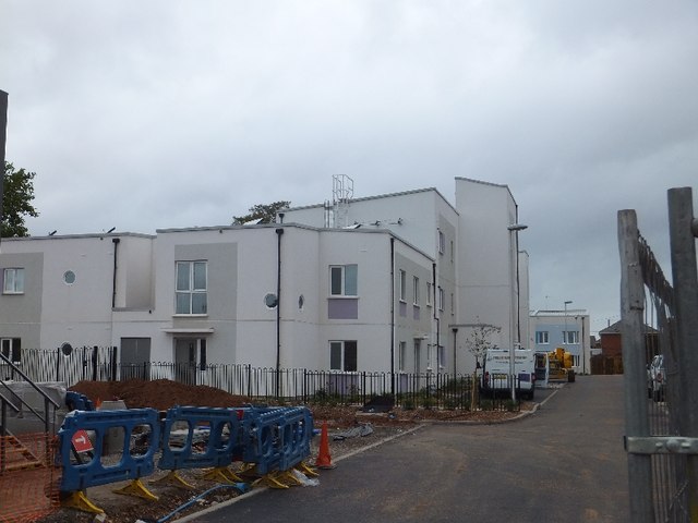
Image: © David Smith Taken: 10 Sep 2011
The former site of St Paul's church has been redeveloped to provide affordable housing. A community centre is planned on part of the site.
Images are licensed for reuse under creativecommons.org/licenses/by-sa/2.0
Image Location
Latitude
50.709052
Longitude
-3.507851