Farmland, Kingston Bagpuize
Introduction
The photograph on this page of Farmland, Kingston Bagpuize by Andrew Smith as part of the Geograph project.
The Geograph project started in 2005 with the aim of publishing, organising and preserving representative images for every square kilometre of Great Britain, Ireland and the Isle of Man.

There are currently over 7.5m images from over 14,400 individuals and you can help contribute to the project by visiting https://www.geograph.org.uk
Farmland, Kingston Bagpuize
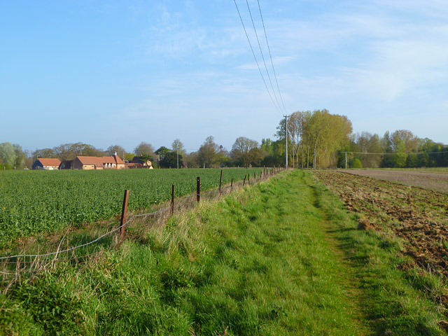
Image: © Andrew Smith Taken: 10 Apr 2011
A restricted byway in arable fields to the north of Swannybrook Farm. To the left are a crop of oil-seed rape and the converted farm buildings of Race Farm.
Images are licensed for reuse under creativecommons.org/licenses/by-sa/2.0
Image Location
Latitude
51.672554
Longitude
-1.41284