Derelict Wey & Arun Canal
Introduction
The photograph on this page of Derelict Wey & Arun Canal by Colin Smith as part of the Geograph project.
The Geograph project started in 2005 with the aim of publishing, organising and preserving representative images for every square kilometre of Great Britain, Ireland and the Isle of Man.

There are currently over 7.5m images from over 14,400 individuals and you can help contribute to the project by visiting https://www.geograph.org.uk
Derelict Wey & Arun Canal
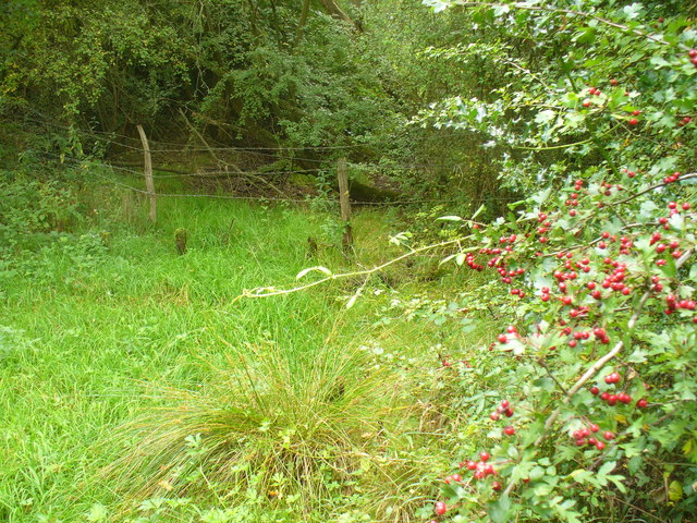
Image: © Colin Smith Taken: 10 Sep 2011
Damp course of the former canal link from London to the sea - north of Ifold Bridge. http://www.weyandarun.co.uk/
Images are licensed for reuse under creativecommons.org/licenses/by-sa/2.0
Image Location
Latitude
51.078289
Longitude
-0.532609