Hill Farm - now derelict.
Introduction
The photograph on this page of Hill Farm - now derelict. by Roger Temple as part of the Geograph project.
The Geograph project started in 2005 with the aim of publishing, organising and preserving representative images for every square kilometre of Great Britain, Ireland and the Isle of Man.

There are currently over 7.5m images from over 14,400 individuals and you can help contribute to the project by visiting https://www.geograph.org.uk
Hill Farm - now derelict.
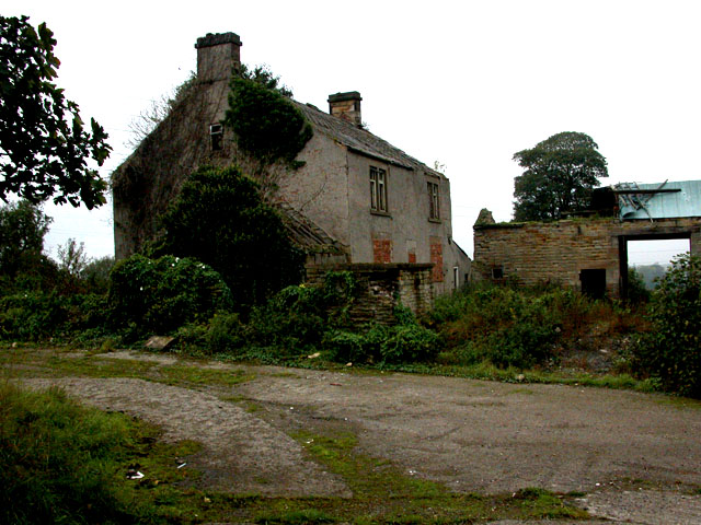
Image: © Roger Temple Taken: 13 Oct 2006
This derelict farm stands on the junction of the A617 dual carriageway to Chesterfield and the road to Temple Normanton. Presumably much of the farm land was taken over with the 'new' road and the plan is now to replace the buildings with new housing. January 2010 - update see http://www.geograph.org.uk/photo/1681485
Images are licensed for reuse under creativecommons.org/licenses/by-sa/2.0
Image Location
Latitude
53.208354
Longitude
-1.380092