Cypress Road
Introduction
The photograph on this page of Cypress Road by Christopher Hilton as part of the Geograph project.
The Geograph project started in 2005 with the aim of publishing, organising and preserving representative images for every square kilometre of Great Britain, Ireland and the Isle of Man.

There are currently over 7.5m images from over 14,400 individuals and you can help contribute to the project by visiting https://www.geograph.org.uk
Cypress Road
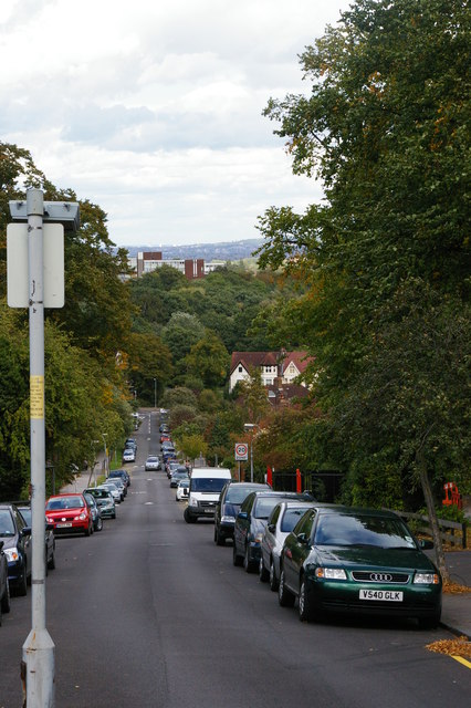
Image: © Christopher Hilton Taken: 5 Sep 2011
Looking down Cypress Road from its junction with the main road (South Norwood Hill). Beyond the trees, the large buildings of the Sylvan Road Estate.
Images are licensed for reuse under creativecommons.org/licenses/by-sa/2.0
Image Location
Latitude
51.407467
Longitude
-0.081828