Post-war housing on Crewe Road
Introduction
The photograph on this page of Post-war housing on Crewe Road by Espresso Addict as part of the Geograph project.
The Geograph project started in 2005 with the aim of publishing, organising and preserving representative images for every square kilometre of Great Britain, Ireland and the Isle of Man.

There are currently over 7.5m images from over 14,400 individuals and you can help contribute to the project by visiting https://www.geograph.org.uk
Post-war housing on Crewe Road
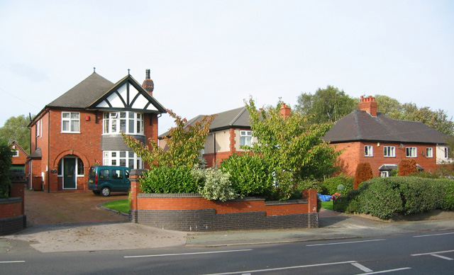
Image: © Espresso Addict Taken: 12 Oct 2006
These examples are representative of the range of detached and semi-detached houses lining Crewe Road on the eastern outskirts of Nantwich
Images are licensed for reuse under creativecommons.org/licenses/by-sa/2.0
Image Location
Latitude
53.067774
Longitude
-2.502892