Fferm Nant Cwmbran Isaf Farm
Introduction
The photograph on this page of Fferm Nant Cwmbran Isaf Farm by Eric Jones as part of the Geograph project.
The Geograph project started in 2005 with the aim of publishing, organising and preserving representative images for every square kilometre of Great Britain, Ireland and the Isle of Man.

There are currently over 7.5m images from over 14,400 individuals and you can help contribute to the project by visiting https://www.geograph.org.uk
Fferm Nant Cwmbran Isaf Farm
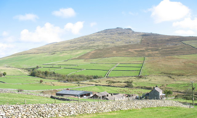
Image: © Eric Jones Taken: 9 Oct 2006
A Tir Gofal path crosses the in by-fields of this farm allowing access to the open access land of the uplands. The walled track to the mountain can be seen in the middleground. The farmland previously belonging to the neighbouring Nant Cwmbran Uchaf has been amalgamated into that of Nant Cwmbran Isaf, with the farmhouse becoming a residence for a non-farming family.
Images are licensed for reuse under creativecommons.org/licenses/by-sa/2.0
Image Location


Leaflet Map data © OpenStreetMap
Latitude
53.012022
Longitude
-4.274554