Towards Stoke Bottom Lock
Introduction
The photograph on this page of Towards Stoke Bottom Lock by Glyn Baker as part of the Geograph project.
The Geograph project started in 2005 with the aim of publishing, organising and preserving representative images for every square kilometre of Great Britain, Ireland and the Isle of Man.

There are currently over 7.5m images from over 14,400 individuals and you can help contribute to the project by visiting https://www.geograph.org.uk
Towards Stoke Bottom Lock
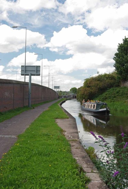
Image: © Glyn Baker Taken: 4 Sep 2011
The Narrowboat left Image a few minutes before the photo was taken.
Images are licensed for reuse under creativecommons.org/licenses/by-sa/2.0
Image Location
Latitude
53.006405
Longitude
-2.181025