Rosevale Avenue, Newtownards
Introduction
The photograph on this page of Rosevale Avenue, Newtownards by Albert Bridge as part of the Geograph project.
The Geograph project started in 2005 with the aim of publishing, organising and preserving representative images for every square kilometre of Great Britain, Ireland and the Isle of Man.

There are currently over 7.5m images from over 14,400 individuals and you can help contribute to the project by visiting https://www.geograph.org.uk
Rosevale Avenue, Newtownards
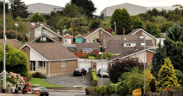
Image: © Albert Bridge Taken: 9 Sep 2011
Houses on the eastern side of the Bangor Road. Rosevale Avenue on the left and Wood Island Park on the right. The warehouses (top) are on the site of the former Berkshire Hosiery factory on the Donaghadee Road.
Images are licensed for reuse under creativecommons.org/licenses/by-sa/2.0
Image Location
Latitude
54.6004
Longitude
-5.683535