The junction of the Mullaghgariff and Yellow Roads
Introduction
The photograph on this page of The junction of the Mullaghgariff and Yellow Roads by Eric Jones as part of the Geograph project.
The Geograph project started in 2005 with the aim of publishing, organising and preserving representative images for every square kilometre of Great Britain, Ireland and the Isle of Man.

There are currently over 7.5m images from over 14,400 individuals and you can help contribute to the project by visiting https://www.geograph.org.uk
The junction of the Mullaghgariff and Yellow Roads
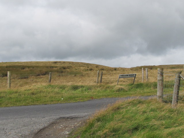
Image: © Eric Jones Taken: 9 Sep 2011
This minor junction is about 350m above sea level, Yellow Road links Warrenpoint and Hilltown. Both are roads better avoided in snowy weather.
Images are licensed for reuse under creativecommons.org/licenses/by-sa/2.0
Image Location
Latitude
54.165075
Longitude
-6.188755