Field boundary near Marden
Introduction
The photograph on this page of Field boundary near Marden by Derek Harper as part of the Geograph project.
The Geograph project started in 2005 with the aim of publishing, organising and preserving representative images for every square kilometre of Great Britain, Ireland and the Isle of Man.

There are currently over 7.5m images from over 14,400 individuals and you can help contribute to the project by visiting https://www.geograph.org.uk
Field boundary near Marden
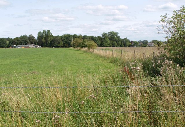
Image: © Derek Harper Taken: 22 Aug 2011
Fields seen from bridleway MARD4, with pasture to the left and wheat on the right.
Images are licensed for reuse under creativecommons.org/licenses/by-sa/2.0
Image Location
Latitude
51.31844
Longitude
-1.884296