Field north of Upper Field Lane
Introduction
The photograph on this page of Field north of Upper Field Lane by Christine Johnstone as part of the Geograph project.
The Geograph project started in 2005 with the aim of publishing, organising and preserving representative images for every square kilometre of Great Britain, Ireland and the Isle of Man.

There are currently over 7.5m images from over 14,400 individuals and you can help contribute to the project by visiting https://www.geograph.org.uk
Field north of Upper Field Lane
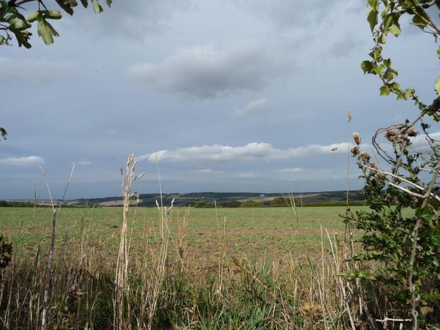
Image: © Christine Johnstone Taken: 9 Sep 2011
The field is quite a bit higher than the lane.
Images are licensed for reuse under creativecommons.org/licenses/by-sa/2.0
Image Location
Latitude
53.584069
Longitude
-1.559801