Waskrow Bridge, Wolsingham
Introduction
The photograph on this page of Waskrow Bridge, Wolsingham by Andrew Curtis as part of the Geograph project.
The Geograph project started in 2005 with the aim of publishing, organising and preserving representative images for every square kilometre of Great Britain, Ireland and the Isle of Man.

There are currently over 7.5m images from over 14,400 individuals and you can help contribute to the project by visiting https://www.geograph.org.uk
Waskrow Bridge, Wolsingham
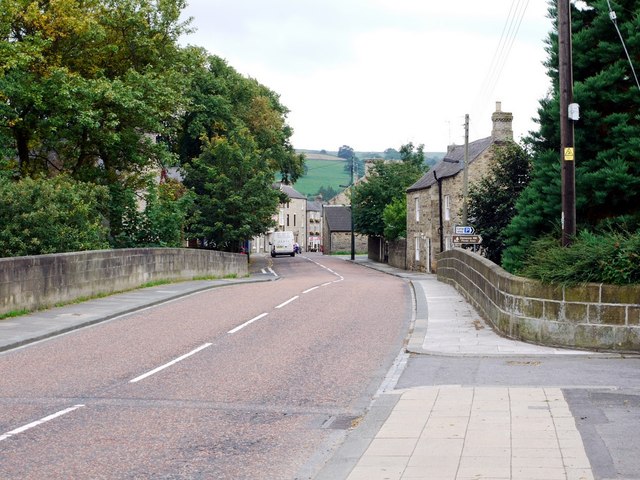
Image: © Andrew Curtis Taken: 2 Sep 2011
Bridge over Waskerley Beck on entering the town of Wolsingham on the road from Tow Law. The earliest large scale OS map shows that the beck was also called the Wascrow.
Images are licensed for reuse under creativecommons.org/licenses/by-sa/2.0
Image Location
Latitude
54.732513
Longitude
-1.882258