St. Cleer Farm Shop
Introduction
The photograph on this page of St. Cleer Farm Shop by Eric Foster as part of the Geograph project.
The Geograph project started in 2005 with the aim of publishing, organising and preserving representative images for every square kilometre of Great Britain, Ireland and the Isle of Man.

There are currently over 7.5m images from over 14,400 individuals and you can help contribute to the project by visiting https://www.geograph.org.uk
St. Cleer Farm Shop
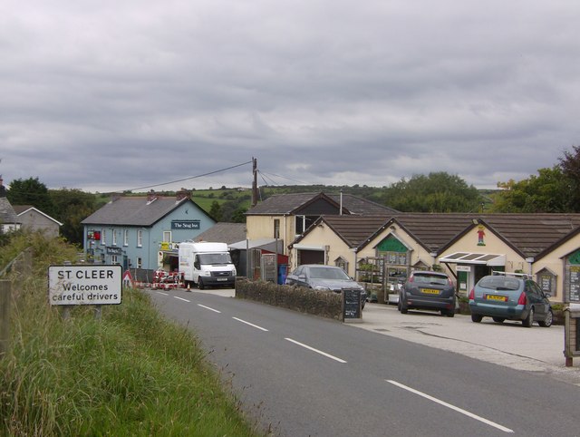
Image: © Eric Foster Taken: 30 Aug 2011
This farm shop is now the only such facility in the village of St. Cleer, the two other village stores having closed as well as the Post Office. A sign of the times?
Images are licensed for reuse under creativecommons.org/licenses/by-sa/2.0
Image Location
Latitude
50.485419
Longitude
-4.468907