Milton Street, Brixham
Introduction
The photograph on this page of Milton Street, Brixham by Derek Harper as part of the Geograph project.
The Geograph project started in 2005 with the aim of publishing, organising and preserving representative images for every square kilometre of Great Britain, Ireland and the Isle of Man.

There are currently over 7.5m images from over 14,400 individuals and you can help contribute to the project by visiting https://www.geograph.org.uk
Milton Street, Brixham
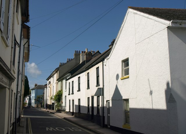
Image: © Derek Harper Taken: 4 Sep 2011
From the junction shown in Image; this is the road to the left, leading towards Kingswear. Several houses here are listed; the lower-roofed houses in the centre, for instance, are "early C19, probably a remodelling of a C17 or C18 structure" http://www.britishlistedbuildings.co.uk/en-383662-1-and-3-brixham .
Images are licensed for reuse under creativecommons.org/licenses/by-sa/2.0
Image Location
Latitude
50.385746
Longitude
-3.520781