Rugby ground, Yatton
Introduction
The photograph on this page of Rugby ground, Yatton by Jaggery as part of the Geograph project.
The Geograph project started in 2005 with the aim of publishing, organising and preserving representative images for every square kilometre of Great Britain, Ireland and the Isle of Man.

There are currently over 7.5m images from over 14,400 individuals and you can help contribute to the project by visiting https://www.geograph.org.uk
Rugby ground, Yatton
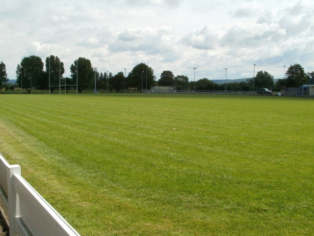
Image: © Jaggery Taken: 23 Jul 2011
Located on the east side of North End, the local name for the B3133. The pitch is the home venue for Yatton Rugby Football Club, whose clubhouse http://www.geograph.org.uk/photo/2591833 is out of shot in the SE corner of the site. The site is shared with Yatton Netball Club, whose playing area is adjacent to the clubhouse.
Images are licensed for reuse under creativecommons.org/licenses/by-sa/2.0
Image Location


Leaflet Map data © OpenStreetMap
Latitude
51.395497
Longitude
-2.829297