B3133 junction at the northern edge of Yatton
Introduction
The photograph on this page of B3133 junction at the northern edge of Yatton by Jaggery as part of the Geograph project.
The Geograph project started in 2005 with the aim of publishing, organising and preserving representative images for every square kilometre of Great Britain, Ireland and the Isle of Man.

There are currently over 7.5m images from over 14,400 individuals and you can help contribute to the project by visiting https://www.geograph.org.uk
B3133 junction at the northern edge of Yatton
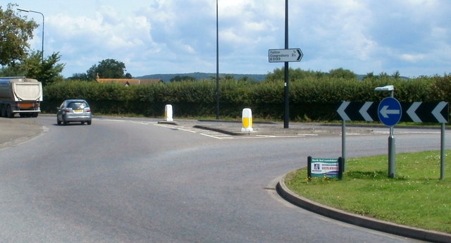
Image: © Jaggery Taken: 23 Jul 2011
Viewed from the NE end of Arnold's Way. The car and lorry are heading along the B3133 away from Yatton towards North End Farm. The sign pointing right shows (central) Yatton ¾ mile, Congresbury 2¼ miles.
Images are licensed for reuse under creativecommons.org/licenses/by-sa/2.0
Image Location
Latitude
51.395467
Longitude
-2.833609