Hadfield Road, looking northeast, Hadfield
Introduction
The photograph on this page of Hadfield Road, looking northeast, Hadfield by L S Wilson as part of the Geograph project.
The Geograph project started in 2005 with the aim of publishing, organising and preserving representative images for every square kilometre of Great Britain, Ireland and the Isle of Man.

There are currently over 7.5m images from over 14,400 individuals and you can help contribute to the project by visiting https://www.geograph.org.uk
Hadfield Road, looking northeast, Hadfield
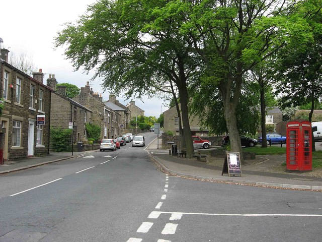
Image: © L S Wilson Taken: 7 May 2011
A traditional red telephone kiosk still survives here. The road coming in on the right is Queen Street.
Images are licensed for reuse under creativecommons.org/licenses/by-sa/2.0
Image Location
Latitude
53.460834
Longitude
-1.971194