The Rea valley at Tetshill
Introduction
The photograph on this page of The Rea valley at Tetshill by Philip Halling as part of the Geograph project.
The Geograph project started in 2005 with the aim of publishing, organising and preserving representative images for every square kilometre of Great Britain, Ireland and the Isle of Man.

There are currently over 7.5m images from over 14,400 individuals and you can help contribute to the project by visiting https://www.geograph.org.uk
The Rea valley at Tetshill
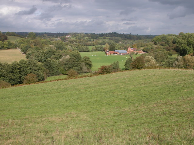
Image: © Philip Halling Taken: 8 Oct 2006
A railway line used to pass through this valley, now long disused. In front of the farm in the middle distance is a cricket pitch. Further back the church tower of Neen Sollars and Neen Sollars House can be seen.
Images are licensed for reuse under creativecommons.org/licenses/by-sa/2.0
Image Location
Latitude
52.340709
Longitude
-2.497534