Langland Avenue, Sherrards Green, Malvern
Introduction
The photograph on this page of Langland Avenue, Sherrards Green, Malvern by Bob Embleton as part of the Geograph project.
The Geograph project started in 2005 with the aim of publishing, organising and preserving representative images for every square kilometre of Great Britain, Ireland and the Isle of Man.

There are currently over 7.5m images from over 14,400 individuals and you can help contribute to the project by visiting https://www.geograph.org.uk
Langland Avenue, Sherrards Green, Malvern
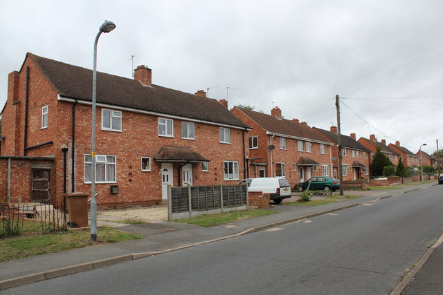
Image: © Bob Embleton Taken: 8 Sep 2011
Part of the post-war council house building programme which saw 500 council houses built in 5 years. Not much of an avenue 60 years on. Note how the front gardens having been given over to the parking of cars.
Images are licensed for reuse under creativecommons.org/licenses/by-sa/2.0
Image Location
Latitude
52.115436
Longitude
-2.305026