Former Farmland off Skegby Lane
Introduction
The photograph on this page of Former Farmland off Skegby Lane by Antony Dixon as part of the Geograph project.
The Geograph project started in 2005 with the aim of publishing, organising and preserving representative images for every square kilometre of Great Britain, Ireland and the Isle of Man.

There are currently over 7.5m images from over 14,400 individuals and you can help contribute to the project by visiting https://www.geograph.org.uk
Former Farmland off Skegby Lane
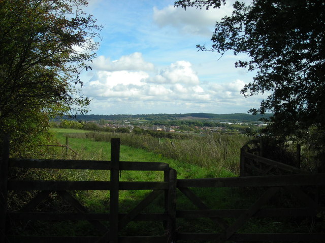
Image: © Antony Dixon Taken: 8 Sep 2011
Looking through an old farm gate across disused field towards Cauldwell Wood. Rainworth wind turbines just visible on the horizon left of centre.
Images are licensed for reuse under creativecommons.org/licenses/by-sa/2.0
Image Location
Latitude
53.138741
Longitude
-1.234598