The Rural Village of Lambourn
Introduction
The photograph on this page of The Rural Village of Lambourn by Pam Brophy as part of the Geograph project.
The Geograph project started in 2005 with the aim of publishing, organising and preserving representative images for every square kilometre of Great Britain, Ireland and the Isle of Man.

There are currently over 7.5m images from over 14,400 individuals and you can help contribute to the project by visiting https://www.geograph.org.uk
The Rural Village of Lambourn
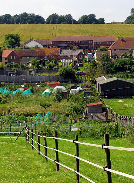
Image: © Pam Brophy Taken: 9 Jul 2005
Lambourn is surrounded by farmland. This section of the village with its residences, allotment gardens and farmland in the background, is viewed from the west side of the B4000, looking north west.
Images are licensed for reuse under creativecommons.org/licenses/by-sa/2.0
Image Location


Leaflet Map data © OpenStreetMap
Latitude
51.504505
Longitude
-1.533145