Orford Way, Sherrards Green, Malvern
Introduction
The photograph on this page of Orford Way, Sherrards Green, Malvern by Bob Embleton as part of the Geograph project.
The Geograph project started in 2005 with the aim of publishing, organising and preserving representative images for every square kilometre of Great Britain, Ireland and the Isle of Man.

There are currently over 7.5m images from over 14,400 individuals and you can help contribute to the project by visiting https://www.geograph.org.uk
Orford Way, Sherrards Green, Malvern
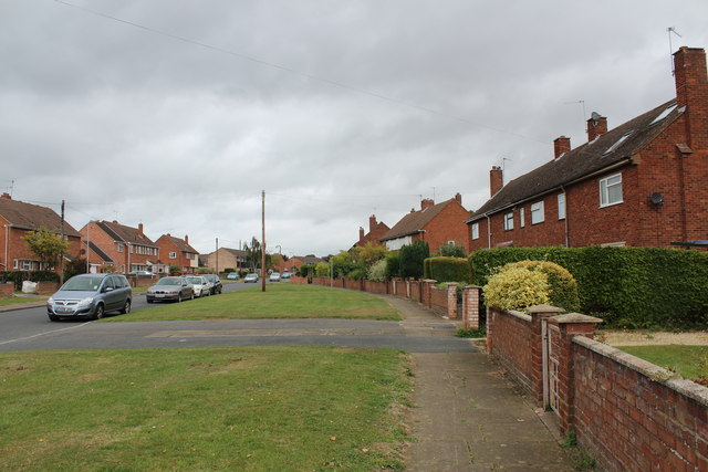
Image: © Bob Embleton Taken: 8 Sep 2011
Part of the post-war council house construction programme. The 500th council house to be finished in five years is just visible (with the cream coloured front on the left-hand side of the road). The name Orford probably reflects Malvern's radar research connection with Orford Ness.
Images are licensed for reuse under creativecommons.org/licenses/by-sa/2.0
Image Location
Latitude
52.11597
Longitude
-2.306928