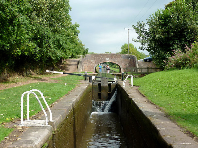
Meaford House Lock No 32, Staffordshire
Introduction
The photograph on this page of Meaford House Lock No 32, Staffordshire by Roger D Kidd as part of the Geograph project.
The Geograph project started in 2005 with the aim of publishing, organising and preserving representative images for every square kilometre of Great Britain, Ireland and the Isle of Man.
There are currently over 7.5m images from over 14,400 individuals and you can help contribute to the project by visiting https://www.geograph.org.uk

Image: © Roger D Kidd Taken: 3 Sep 2011
The lock has been emptied to allow a narrowboat to proceed (behind the camera). The top gates of all four locks in the fight are leaking, and need some maintenance. Bridge No 97 ahead is a turnover bridge transferring the towpath from the left to the right of the waterway. The Meaford flight consists of four locks north-east of Stone. The locks allow a rise of 32ft 5in (just under ten metres) in water level. The Trent and Mersey Canal is 93.5 miles in length from Derwent Mouth to Preston Brook. The first sod was cut by Josiah Wedgwood in July 1766 at Middleport (Stoke-on-Trent) and the whole canal was open for business by 1777.

