Field edge, Cropwell Butler
Introduction
The photograph on this page of Field edge, Cropwell Butler by Alan Murray-Rust as part of the Geograph project.
The Geograph project started in 2005 with the aim of publishing, organising and preserving representative images for every square kilometre of Great Britain, Ireland and the Isle of Man.

There are currently over 7.5m images from over 14,400 individuals and you can help contribute to the project by visiting https://www.geograph.org.uk
Field edge, Cropwell Butler
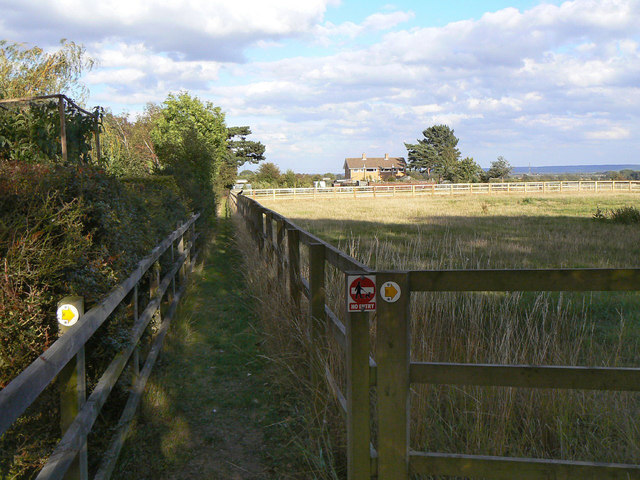
Image: © Alan Murray-Rust Taken: 2 Sep 2011
The reason for maintaining the boundary fence clear of the hedge is unclear. The gap appears to be used as a footpath although it is not a public right of way, as the signs indicate.
Images are licensed for reuse under creativecommons.org/licenses/by-sa/2.0
Image Location
Latitude
52.924249
Longitude
-0.982091