Footpath and Bridleway east off Eythrope Road
Introduction
The photograph on this page of Footpath and Bridleway east off Eythrope Road by Graham Hale as part of the Geograph project.
The Geograph project started in 2005 with the aim of publishing, organising and preserving representative images for every square kilometre of Great Britain, Ireland and the Isle of Man.

There are currently over 7.5m images from over 14,400 individuals and you can help contribute to the project by visiting https://www.geograph.org.uk
Footpath and Bridleway east off Eythrope Road
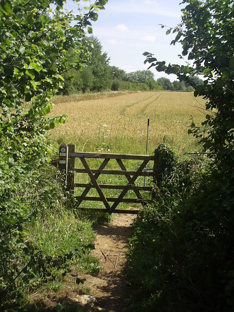
Image: © Graham Hale Taken: 22 Jul 2011
The height of summer with ripe wheat in the field beyond. The long lever lets riders pass without dismounting.
Images are licensed for reuse under creativecommons.org/licenses/by-sa/2.0
Image Location
Latitude
51.811407
Longitude
-0.883034